Advertisement


EF1 Tornado Confirmed In Huntsville
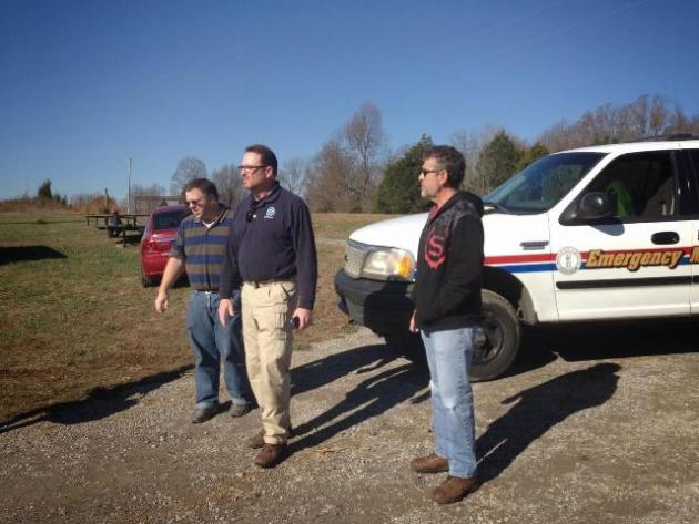
Early Monday morning Landon Hampton, Beech Tree News Meteorologist, along with two members from Louisville’s National Weather Service, set out for a storm survey in the Huntsville community. After reports and photos of damage were sent to the NWS Office, they felt the need to conduct a storm survey to determine the cause of the damage. When dealing with storms such as the one on Sunday, there are two main factors that could have caused the destruction…straight-line winds, or a tornado.
"After meeting up with the NWS team, I took them to the intersection of Huntsville-Quality Road and Silver City-Huntsville Road where the damage path began," said Hampton.
After observing the extent of damage and the length of the damage path, they determined that a tornado had in fact touched down. You can view the exact path of the tornado on the image below. For full access to the interactive map, including a legend for the symbols, visit this link.

With the severity of damage ranging from mobile homes being destroyed to large trees being uprooted, the twister was ultimately given a rating of EF1, with maximum sustained winds of 105mph. With no major foundational damage to standard structures, they ruled out a higher rating. Below is a photo of a log shed that was completely removed from its foundation, displaying EF1 damage.

"At approximately 3:55pm on Sunday, November 17th, 2013 the National Weather Service issued a Tornado Warning for Butler County. Soon thereafter, I was on the storm myself, watching it as it advanced our way from Greenville in Muhlenberg County. I saw the rotating base, and headed back east toward Morgantown, where I eventually sent out warning updates through social media. The tornado hit Huntsville at approximately 4:10-4:25pm. Overall, there were no fatalities, and only one minor injury. Although damage was evident, it could have been much worse," said Hampton.
Below is the official summary of the tornado from the Louisville National Weather Service. It includes much more information:
Begin Point: 1 mile West of Huntsville, KY
End Point: 4 mile East of Huntsville, KY
EF Scale: EF-1
Wind Speed: 105 MPH
Path Length: 5.3 Mile
Path Width: Max 200 Yards
Injuries: 1 Fatalities: 0
Narrative: A storm damage survey confirmed that an EF-1 tornado with maximum winds of 105 mph touched down near Huntsville in Butler County, Kentucky on November 17 2013. The tornado touched down approximately one mile west of Huntsville on Blaine Road where some trees were uprooted. The tornado then moved eastward into Huntsville where a few homes were damaged and trees were snapped along Huntsville-Quality Road.
The tornado then continued east damaging trees, homes and small outbuildings just north of Silver City-Huntsville Road. One minor injury occurred in a double wide home that lost all of its roof and a couple of walls just west of the intersection of Silver City-Huntsville Road and Panther Creek Road. Intermittent minor damage then occurred east of this intersection. Finally, the tornado did a more concentrated area of damage along Muddy Creek Road where a few more homes and trees were damaged.
The tornado quickly lifted east of this area, 4 miles east of Huntsville. The tornado reached a maximum path width of 200 yards three different times along its 5 mile path length. The National Weather Service wants to thank Butler County Emergency Management and private meteorologist Landon Hampton for their assistance with our storm damage assessment. Additionally, volunteer aviator Leonard Pendley took aerial photos of the tornado track.
EF Scale: The Enhanced Fujita Scale classifies tornadoes into the following categories:
EF0...Weak......65 to 85 MPH
EF1...Weak......86 to 110 MPH
EF2...Strong....111 to 135 MPH
EF3...Strong....136 to 165 MPH
EF4...Violent...166 to 200 MPH
EF5...Violent...>200 MPH
- Log in to post comments
![]()
Advertisements


Clicking on an ad will open the advertiser's web site or a larger view of the ad. Advertise with us!
Advertisements